
Thanks
to Ann (author of the "HikerGal" blog) for making me aware of this
truly terrific hiking venue named the David Dana Forest, which is located in
Dalton, NH.
I strongly encourage you to read Ann's blog report (click HERE) about the wonderful experience that she and her
husband had while exploring this property.
Since she did such a terrific job with her description, there is very
little that I can add. And so, I'll
merely present a few of my photos, and add a few of my thoughts and other
information.
The SPNHF (Society for Protection of New Hampshire Forests) has an online brochure about this property (click HERE). It indicates that David Dana donated this 301 acre property
to the Forest Society. It was once slated
for a 23 lot subdivision. The land offers diverse habitat, including wetlands,
brushy fields, extensive deer yards, and a half mile of frontage along the Johns
River. However, the most unique feature
of the property is an old gold mine which was operated by the Whitefield Mining
Company until 1885. The entrance to the mine was carved into the face of a
cliff. It has one shaft at about 100 feet
deep, which is now flooded.
It appears that Ann and I began our hike from two
different locations. The SPNHF map
indicates that parking is available on Lower Ox Team Road. However, the SPNHF brochure gives GPS
coordinates for parking, as follows:
N 44° 23' 25.44", W 71° 38' 30.12"
Before leaving home, I had plugged the above
coordinates into Google Maps and discovered that it showed parking at a
location on Ridge Road. And so, I
printed out directions for that location, and that is where I headed to begin
my hike. The map presented below shows the two
different parking locations. Also,
highlighted in yellow is the route that
I followed to the gold mine.
 |
| Map showing parking and trail system for David Dana Forest (Dalton, NH) |
Once you arrive at the old gold mine, the trail goes up
wooden stairs and then continues onward for a considerable distance, much of which
is a moderately steep climb. I suspected that the trail eventually went
outside the boundary of the David Dana Forest. However, I saw no boundary
markers whatsoever, nor was there any signage to indicate that hiking beyond
the gold mine is disallowed.
On the Monday following my hike, I telephoned the SPNHF and
asked if it's permissible to hike on the trails that extend beyond the gold
mine. The response I received was that
the trail system does indeed go beyond the boundary of the David Dana
Forest. However, it was further stated
that the landowner has expressed no objections to folks who hike responsibly on
these trails.
I must admit that I was not prepared for an
adventure such as I experienced at the David Dana Forest. My GPS was purposely left at home, thinking
that I would have no use for it.
However, I later regretted that decision. My GPS wasn't needed because I got lost!
Rather, I would love to have it available to plot my route and to mark
some waypoints.
Since I didn't have my GPS, I cannot provide any firm data
about distance, elevation gain, etc.
However, based on gut-feel, I would tend to agree with stats listed in
Anne's Blog of nearly 4 miles (round-trip), with a significant elevation gain of several hundred feet. Please note that those stats are
applicable only if you hike beyond the gold mine. Mileage and elevation gain would be
significantly less if you were to just visit the gold mine.
And so, with no further ado, here are some photos
that I took during my hiking adventure at the David Dana Forest.
 |
| Sign at pull-off parking area on Ridge Road |
 |
| The gold mine entrance |
 |
| Stairs which lead to trails extending a considerable distance beyond the gold mine |
 |
| Many trail segments are moss-covered. Was hesitant to trample the "carpeting"! |
 |
| Within David Dana Forest itself, a few small segments of trail look like this |
 |
| Trail is well-constructed with sturdy stairs, and many thoughtful switchbacks |
 |
| High up on the trail is faint path leading to view of Presidential Range |
 |
| A picnic table placed within a trailside nook |
 |
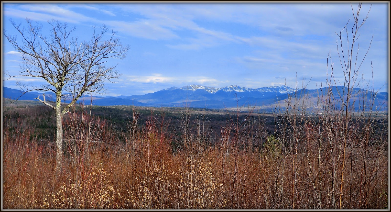
| An old tree along the trail that seemed deserving of a photo |
To sum it up, this adventure was such an unexpected surprise. Undoubtedly, I'll be making a return visit to
the David Dana Forest. And when I do, my
GPS is coming with me. :-)
Mike and I are so happy you enjoyed this forest. We wanted to take our shoes off and just walk the "carpeting" in bare feet. Thank you for calling and asking about the trails boundaries and permissions. A huge thank you for shout outs. Great report.
ReplyDeleteAnn, thanks not only for your comments, but also thanks again for calling my attention to this terrific spot!
DeleteJohn
As an employee in the Reservation Stewardship Department of the Society for the Protection of NH Forests, I want to thank you for your comments about this wonderful property of ours. I do want to caution you however, that the land beyond our boundaries is not managed by us and is privately owned. Please respect the rights of the property owners and do not enter privately owned land, especially if it is posted as such. Thank you and enjoy the trails!
ReplyDeleteRita,
DeleteThank you for taking time to read my blog and post your comments. Concerning your reprimand about respecting the property rights of others, that is always an uppermost priority of mine.
As I stated in my blog: “I suspected that the trail eventually went outside the boundary of the David Dana Forest. However, I saw no boundary markers whatsoever, nor was there any signage to indicate that hiking beyond the gold mine is disallowed.”
And as I further stated in my blog: “On the Monday following my hike, I telephoned the SPNHF and asked if it's permissible to hike on the trails that extend beyond the gold mine. The response I received was that the trail system does indeed go beyond the boundary of the David Dana Forest. However, it was further stated that the landowner has expressed no objections to folks who hike responsibly on these trails.”
I can well appreciated that situations might have changed since the time I did this hike over 2 years ago. And so, I’m assuming from your comments that the landowner now objects to hikers walking the trails that extend beyond the Dana David Forest, and that the land on his/her property is now properly posted to alert hikers when they are leaving the boundaries of David Dana Forest and entering private land.
John